Welcome to our Online Collections Database!
Tips for Searching
Keyword Search
The Keyword Search button allows you to perform a general search across multiple fields for any catalog records online. Keyword searches use OR as the default connector between words (e.g. a search for Hanley Ranch will return records associated with Hanley OR Ranch). If you want to find records where both keywords are found, type in AND between the two words. To search for a specific phrase, be sure to put the phrase within quotes (e.g. "Rocky Pine Ranch"). You can also use the asterisk (*) as a wildcard (e.g. a search for histor* would come up with records containing history, histories, historical, etc.). Searches are not case sensitive.
Advanced Search
The Advanced Search button can help you be more specific with your search. You can search for a word or phrase within a particular search category or use multiple categories to further narrow down your search results. For example, searching White in the People field will bring up any records associated with a member of the White family, without having to sift through black & white photographs. You can also search People and Creator records through Advanced Search. Phrase searching with quotes and use of wildcards (*) are available in Advanced Search.
Random Images
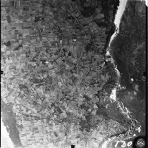
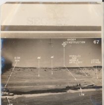
The Random Images button is a great way to just browse the collection. Each Random Images page displays a random assortment of images from the records online. If something piques your interest, click the thumbnail to view a larger version of the image.
Catalog Searches (Archives / Photos / Libraries / Objects)
The catalog buttons can also help narrow down your search, by only searching with a selected catalog. If you only want to search for Photos, click the Photos button and type in your keyword(s) or phrase. You can also browse records within that catalog without performing a search. Phrase searching, wildcards (*) as well as AND/OR statements are available when performing catalog searches.